
I attended my niece's (Abbey) wedding this past weekend, and it was hard to believe I hadn't been back to Indiana in 12 years. Reconnecting with family (The Dybels & Zabreckys) was extraordinary! Abbey & Gus look perfect for each other, and I wish them great happiness.
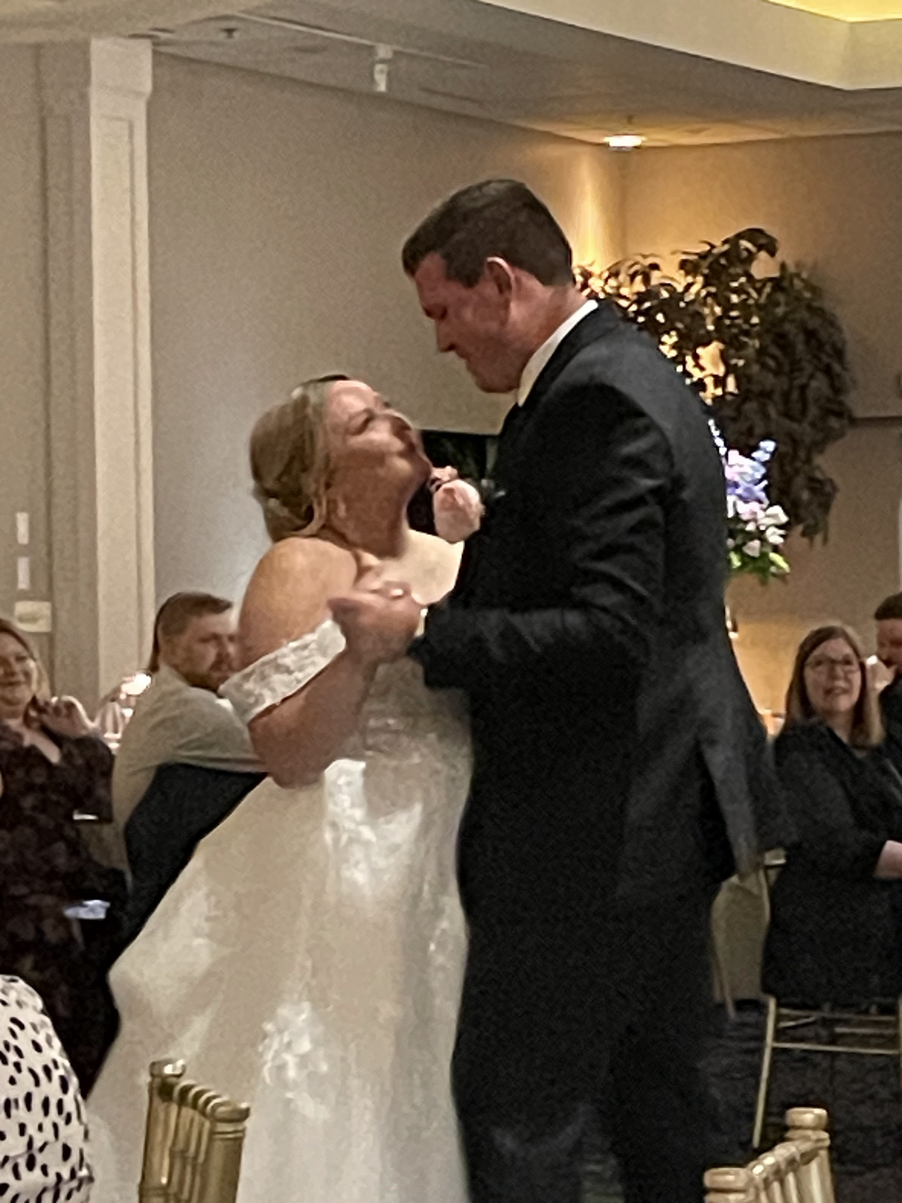


Even my assigned table was perfect since I've spent 47 years with Channel 8. The next day was the reunion with the Zabreckys. Can you tell my sister (Carol) & I took after my 5'2" mother (Dorothy)!


My 3 sons joined in, but wait, there's more! On either side of us are Alan & Greg, my late brother's (Jim) sons. They got the height!


By the time we filled up the stairwell, it was a full house. Alan & Traci were the hosts, and they provided wonderful eats & drinks. Thanks guys. Before the wedding, Justin, Emily, Ethan, and I visited the dinosaurs at the Field Museum.


Even had a great burger on South Michigan Avenue. All in all, just the kind of weekend the little fella needed. Temperatures were in the 60s & 70s and it felt great! Now, back to our weather. It is still the same as when I left. Until the upper pattern changes, daily rain chances will stay above normal/average (60-80%). It is keeping the states east of the Rockies in the soup/humidity & heat.


70+ dew points are surging up the Ohio Valley, making them feel like us. Note there are a few 90s under the clouds and showers, but that will change by this weekend. Here's the GFS upper air forecast that takes today's trough away and brings the western high to the East coast. We begin with today, followed by the pattern shift for Friday.


That upper high drifts farther to the east and strengthens by Sunday and Monday.


The center of the upper high will stay to our north, so we will still have some showers around. However, changes will drop to below normal (20-30%) for this weekend. But we have to get through 2 more days of high rain coverage.


Frankly, I don't mind the clouds & storms since they keep us less hot.
.jpg)
We could be back into the mid-90s for Friday through Sunday. Let's watch and see where the center of the upper high sets up. As for the Tropics...the Atlantic remains quiet with the Eastern Pacific active.


Models (except the usual GFS overplay) keep us quiet for the rest of this month. And that's how we want it! Stayed tuned!
No comments:
Post a Comment