Before I begin, let me clarify my last post where I mentioned another blog post, TropicalTidbits. I have never been to that post, don't know who runs it so I didn't mean to criticize THAT person. I mentioned those of you who do go to that site and then mention it on my site. You are the ones who I called "doom & gloomers". For full disclosure, I pay/subscribe to WeatherBell Analytics run by Joe D'Aleo & Joe Bastardi. They have been long time friends and I use their experience to help guide me. Now back to weather.


NHC has designated 92L "Potential Tropical cyclone " 26 and it will become T.S. Delta on Monday. Their first track looks ominous as it develops PTC 26 into a Cat. 2 hurricane in the central Gulf and turns it towards Louisiana with NOLA as the Bullseye. You all know my feelings regarding being the bullseye at 5 days. Enough said. Should you be worried? Not yet as there is so much uncertainty with these future forecasts when we'll have 2 storms in the Gulf at the same time. How will they interact? Will they rotate (Fujiwhara effect) when they get close to each other? Which one will get stronger/weaker? So much uncertainty. In fact, one model (Canadian) brings PTC 26 into the northern Gulf & weakens it with Gamma lingering over the southern Gulf before moving northward into Florida east of us. I would not bank on any of these early solutions.


Satellite views have 2 clusters of clouds with one over the eastern Gulf down into the Yucatan and the other over the Caribbean. IF PTC 26 has a center, it's south of Jamaica where there is a developing cluster of storms. As I mentioned in my last post, i expect it will get stronger in the short term becoming a hurricane and moving over the "loop current" in the souther Gulf. Normally, that would be a bad thing if we were in August or September, but the Gulf is way different now.


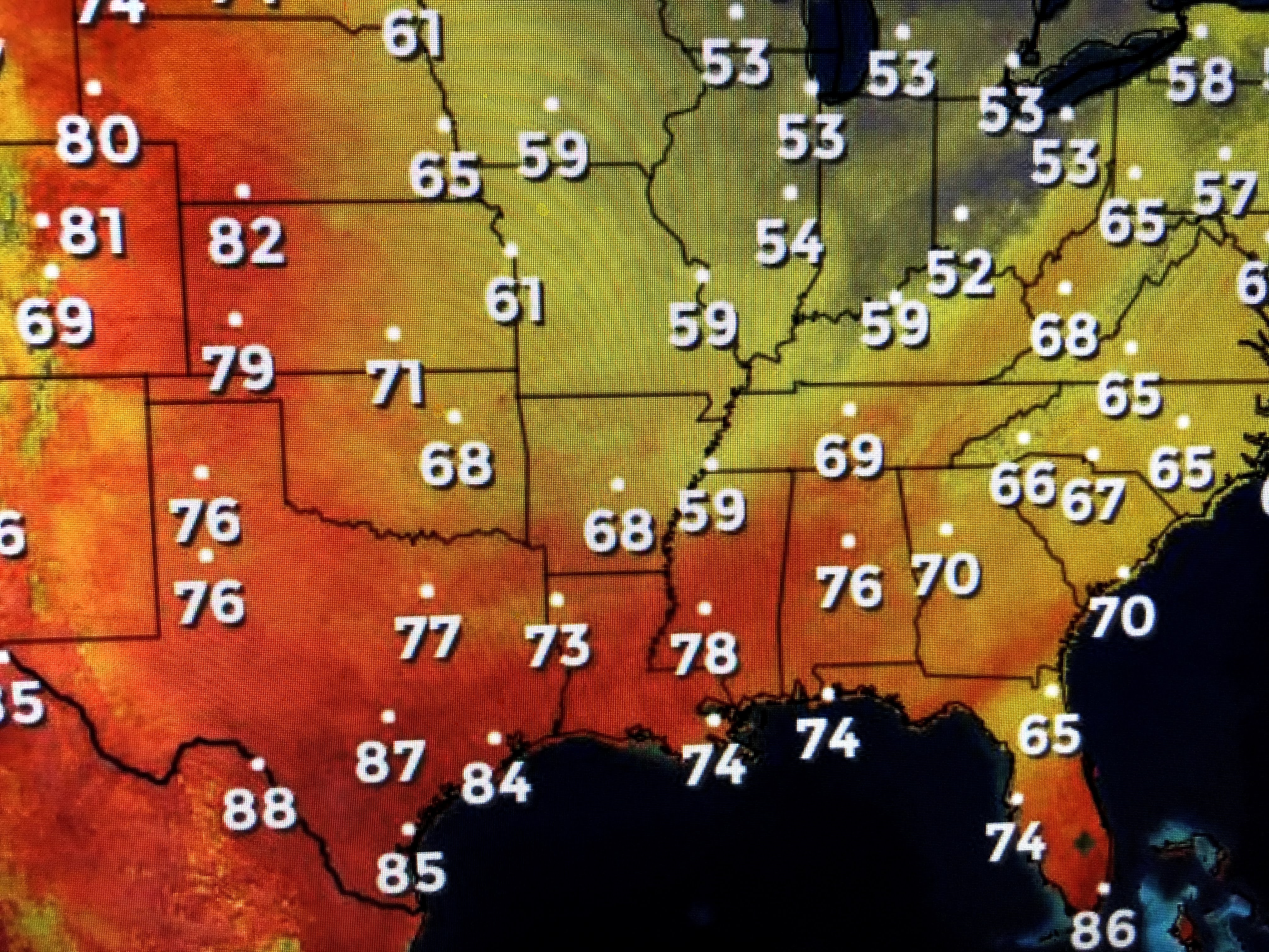
Meteorologist Zack Fradella used a graphic that clearly shows why PTC 26 should develop since it's over the warmest waters of the Caribbean. However, look at the Gulf. There has been a dramatic cooling during the past 2 weeks since Laura & Sally. Call me crazy, but that in itself should mean whatever forms will begin to weaken as it heads towards the coast. In addition, IF the center line track goes to our right (east), we'll end up with very little impacts much like Sally. For now, NHC does make it a 100 mph Cat. 2 Hurricane in 2 days. And what about Gamma?
NHC says the center has stalled north of the Yucatan and will move little for the next 2-3 days. I can't help but stress UNCERTAINTY is the main word with either of these systems. No need to get anxious when we might not have to.
Surface high pressure continues to block any northward movement of Gamma. We have enjoyed a great feel weekend that will slowly change as tropical moisture returns as the high shift eastward. Let's chill out Gang as there is nothing that makes me nervous just yet. Even then, IF PTC 26 (Delta) does impact us, it's October, waters are cooler and history tells us these systems turn BEFORE they get to us. Stay tuned & keep watching!


13 comments:
Daaaaaang bob I thought you were done for the season!
I’m still working on getting my mom to cook that lasagna for you.
And I still need a name for my daughter. She’ll be here in late November and I just KNOW she’s gonna be a BOB fan just like her parents!
Bless up!
Peace and Love!
Bob is LYfE!
Thanks Bob...
Cat I love you more today than yesterday and there has been so much development since the last time there was a system in the gulf... mwah!
Bob,
Thanks. Tropical tidbits is run be a meteorologist and sometimes is very interesting....now there is another blogger from Florida, mikes weather page that is run by a “lay person” and all he does is link weather sites and sells tshirts. Thanks for being here for us..
Thanks Bob for keeping us informed. Peace and blessings to you
Not the Fujiwhara Effect! Wait... let me google that. Bob, I appreciate your service sooooooooo much. Your expert advice is so important to so many. Keep up the great work. God Bless.
I don’t care if my house floods cause I’ve been sleeping on a waterbed for the past forty years.
Tropical Tidbits is run by a young man who obtained his Ph.D in meteorology in 2019. There are a few blogs out there with amateur weather people, but Levi Cowan deserves his due for providing valuable information to the public during hurricane seasons.
Geez, here we go again. THE biggest city in the northern gulf targeted. What a surprise? Tv ratings?
“ Early computer models (nothing to track yet) have this system coming towards Louisiana and our doom & gloom guy at TropicalTidbits loves to jump on intensity forecasts (very little accuracy) and cry wolf with every storm.” -Bob Breck
Maybe at your age you shouldn't be calling anyone anything. If someone wants to side of caution let them be. Trust me I have been actively following your blog and can easily copy several doom conspiracies on your end. You have a lot of knowledge and I respect that. But at 50 I have been actively pursuing these storms. I know enough to know to look at your pressures (highs/lows) the speed of the storm and watching the pressure if it lowers or if there is any wind shear. But I'm not going to pretend I know anymore than the next person. I keep my comments to myself even though I know enough. Hey at the end of the day I do respect your knowledge. Let the grade school kids have the name calling and everyone else act like a adult.
Wow Bobs son is on full delete mode.. can’t handle the same criticism he dishes out?
Just for the record we haven't deleted any criticism (Bob's request). We have only ever deleted spam, obscene content, or something that attacks others.
NHC doesn’t have a TV channel.. next
Post a Comment